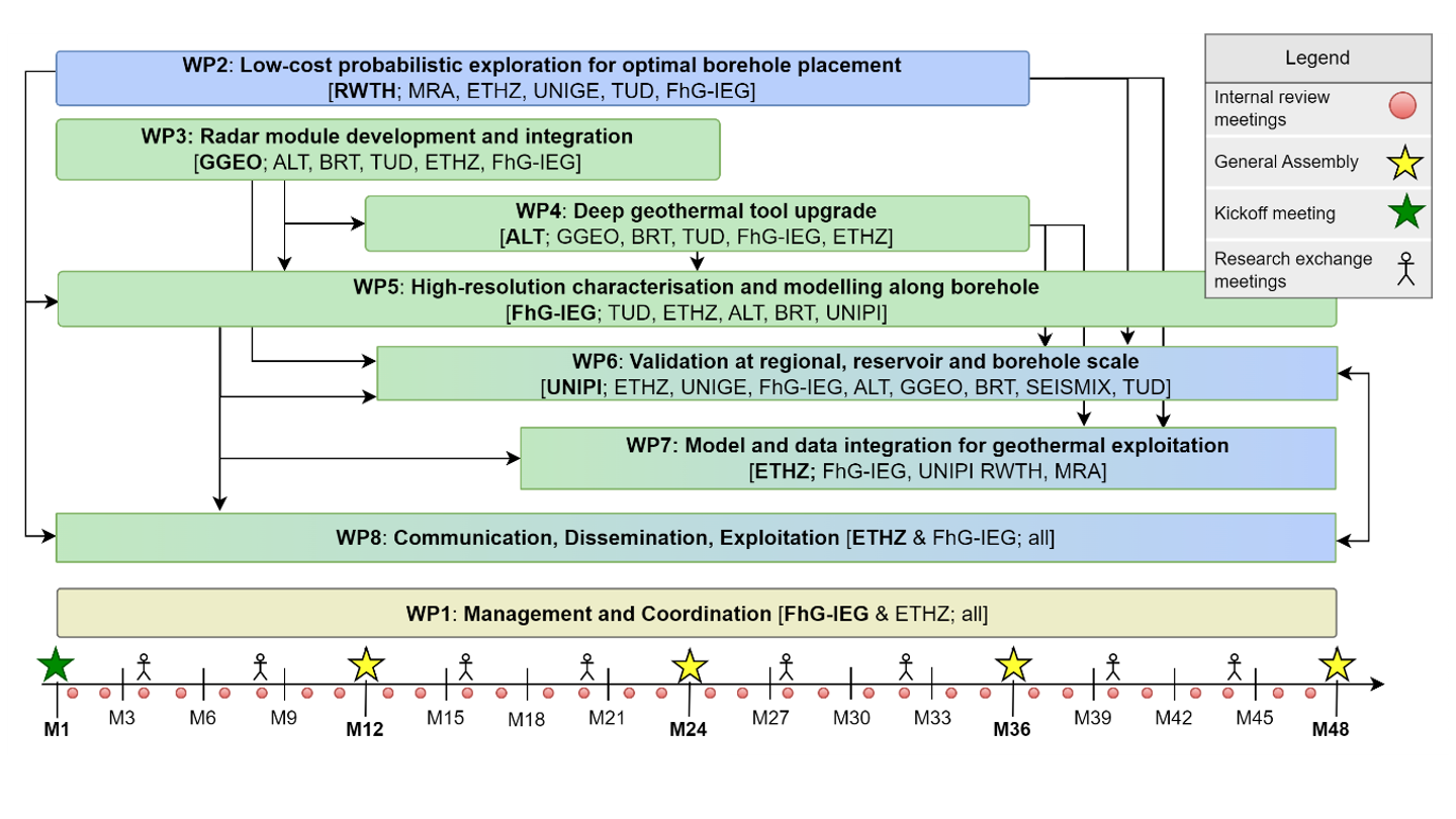
GeoHEAT’s pert diagram, please use the menu to get more details about our eight work packages.
Hot News!
You would like to get new information on a regular basis? Register for our newsletter, by sending an e-mail to kerstin.griese(at)ieg.fraunhofer.de!!!
July 2026: At the 21st International Conference on Ground Penetrating Radar (GPR 2026) in Newcastle, the GeoHEAT team presented new advances: A new Ray-Aligned Hybrid Physical Optics method can model sub-meter fractures in crystalline rock with unprecedented speed and accuracy, opening doors to 3D fracture characterization at hectometer scales from the borehole. More information on LinkedIn.
June 2026: The GeoHEAT consortium gathered in Umeå, Sweden for the 2026 General Assembly for a review of the work packages, and to align the road ahead. Beyond the technical sessions, meeting face-to-face is what keeps a multi-partner collaboration moving. More information on LinkedIn.